
A Technical Framework for Modern Aerial Success
Welcome to the Alma AG Drones project intake command center. Securing a quote for high-capacity unmanned services is about more than evaluating a line item; it is the first step in a strategic alliance that directly impacts your harvest volume, infrastructure health, and regulatory standing. Our project leads are more than just account managers; they are technical specialists based right here in the Georgia Coastal Plain, ready to evaluate your unique operational requirements and map out a data-backed strategy for success.
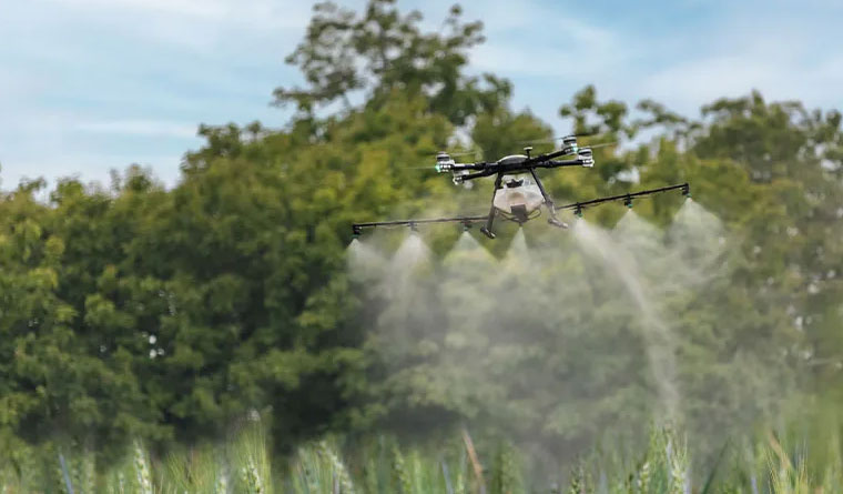
The Alma business and farming community moves at a pace dictated by the seasons and the specific demands of South Georgia industry. Whether you are managing high-value blueberry acreage during a tight treatment window or an industrial developer requiring rapid site volumetrics along the Highway 1 corridor, we respect the time-sensitive nature of your work. Our "Consult. Execute. Report." methodology is engineered to ensure every mission is streamlined, transparent, and metrically precise.
The Alma AG Drones Operational Workflow
Phase 01: The Localized Analysis
Every successful mission begins with a comprehensive strategy session. For our farm partners, this involves auditing field boundaries, crop varieties (blueberries, pecans, timber), and current blight or infestation pressures. For our industrial and engineering clients, we evaluate site topography, specific accuracy benchmarks, and your preferred data formats. We reject the "one-size-fits-all" approach. In the Coastal Plain, factors like sandy soil drainage, high humidity, and regional airspace nuances are critical variables we integrate into our flight planning from day one.
Phase 02: Technical Deployment
Once the strategy is set, our professional flight teams mobilize. With a base right here in Alma, we provide a rapid-response capability that distant competitors cannot provide. We utilize the most advanced hardware for the task, whether that involves our heavy-capacity XAG P150 application drones or our Blue UAS-certified WingtraOne mapping platforms. Our pilots adhere to rigorous aviation-grade safety standards, ensuring every acre is treated or scanned with sub-decimeter precision while upholding the strictest regional safety protocols.
Phase 03: Intelligence Delivery
A mission isn't complete until you possess the intelligence required to make an informed decision. For aerial application jobs, you receive a detailed "As-Applied" map providing verified proof of coverage and volume. For survey work, we deliver professional-grade orthomosaics, 3D models, or LiDAR point clouds in the CAD and GIS formats your team relies on. we conclude the loop by reviewing these deliverables with you, ensuring the project effectively met your operational ROI goals.
Bacon County Mobilization and Local Loyalty
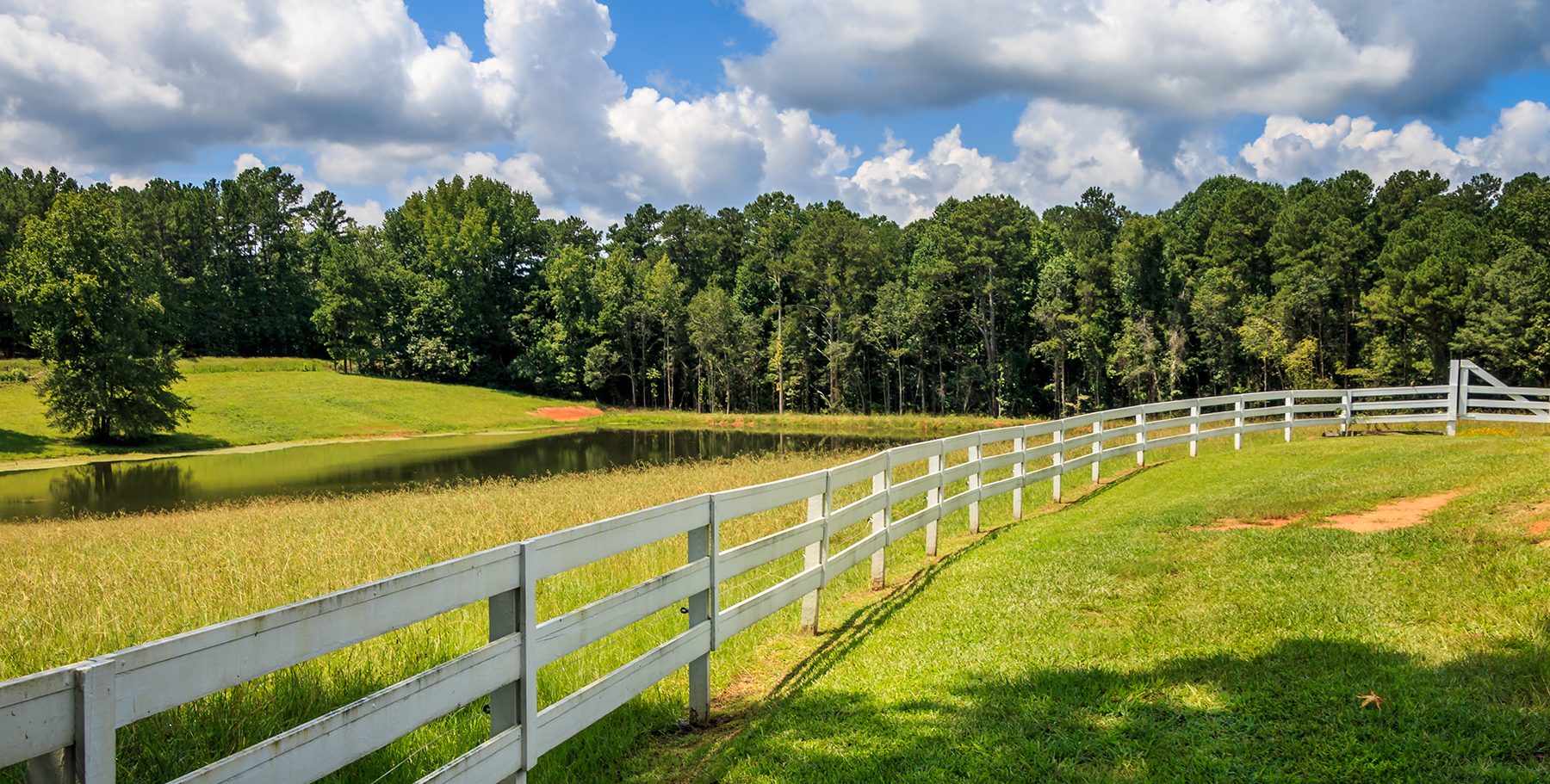
Our dedication to Alma reaches far beyond the flight line. We are deeply invested in the long-term economic health of the Bacon County region. This is why we offer substantial multi-season and multi-pass contract incentives for local growers and industrial clients. By securing your service window early, you guarantee priority scheduling during those high-demand summer months when regional equipment access is most competitive. We act as your year-round technology wing, managing the fleet and the complex data so you can focus on managing your business.
Frequently Asked Questions
Project Intake Form
Alma Regional Office
Ready to Start Your Project?
Discuss your specific goals in Alma with a regional expert. We provide rapid mobilization and precision scoping for every regional client.